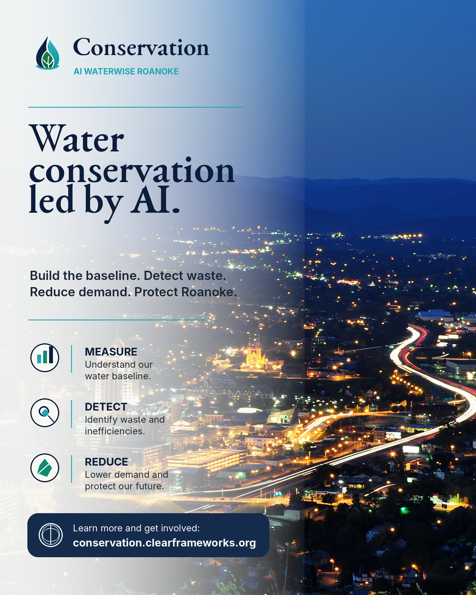
Roanoke Water Baseline Pilot

Water conservation led by AI.

Build the baseline. Detect waste. Reduce demand. Protect Roanoke.

MEASURE
Understand the water baseline before making claims.
DETECT
Find likely leaks, irrigation waste, and high-use anomalies.
REDUCE
Prioritize action that lowers demand and protects supply.
Real Roanoke photo background
Baseline first

The missing data is the opportunity.

The pilot does not pretend Roanoke already has perfect conservation intelligence. It starts by creating the minimum viable water-use dataset needed to make AI useful in the real world.

AI cannot optimize what a community has not measured.

Conservation begins with a trustworthy baseline.
01
Fragmented inputs
Meter reads, bills, rainfall, property details, and leak checks often live in separate places.
02
Low visibility
Without a local baseline, it is hard to separate normal use from avoidable waste.
03
Category blind spot
Outdoor watering, pool top-offs, home car washing, and cooling-related evaporation are usually buried inside broad customer classes.
04
Action gap
The public does not need more dashboards. It needs clear next steps ranked by likely water impact.
Local context

The public debate is about water demand. The blind spot is water data.

Large users are debated in gallons per day. Thousands of smaller outdoor and evaporative uses are often invisible because they are not separated by purpose at the property level.

Why this matters

One big customer gets measured. Many small uses remain blended together.

The point is not to pit one class of water user against another. The point is to build a shared baseline so Roanoke can talk about conservation with evidence instead of assumptions.

Day-one planning reserve ≤2,000,000 gallons/day of water capacity for the Botetourt data center project, according to Botetourt County’s public FAQ.
What the pilot adds Use categories Outdoor watering, cooling towers, car washing, pools, ponds, leaks, and high-use anomalies should be measured as distinct conservation signals.
Water authority language

What counts as irrigation depends on how water is delivered and what it waters.

In conservation rules, “irrigation” is more than watering a lawn. Delivery method, end use, runoff, and metering determine how a use is tracked or restricted.

Delivery methods: the how

These distinctions matter during drought restrictions because they separate high-loss, automated systems from low-volume or supervised watering.

Automatic / in-ground

Permanently installed underground pipes connected to pop-up spray heads, rotors, or impact sprinklers. Heavily regulated because clock timers can run without human attention.

Hose-end irrigation

Portable oscillating, rotary, or impact sprinklers attached to a standard garden hose. In enforcement, this is often treated like an automatic system.

Micro / drip irrigation

Low-volume tubes, emitters, bubblers, or drip lines that apply water to the root zone. Often treated more favorably because wind and evaporation losses are lower.

Hand-watering

A handheld hose with a positive shut-off nozzle, or a watering can. Many drought policies separate hand-watering from unsupervised irrigation.

End-use categories: the what

The pilot should not simply ask “did irrigation happen?” It should separate turf, plantings, agriculture, and other consumptive uses.

T

Turf / ornamental turf

Mowed lawns are usually discretionary outdoor demand and are commonly first in line for restriction during shortage stages.

L

Landscape plantings

Trees, shrubs, flowerbeds, and groundcovers have different community value and replacement cost than turf.

A

Agricultural irrigation

Commercial crops, pasture, orchards, and farm systems are governed differently from residential watering and should not be collapsed into lawn use.

Policy terms the platform should track

Irrigation runoff water escaping onto streets, sidewalks, or adjacent areas. Dedicated irrigation meter a separate meter for outdoor use that typically does not generate sewer charges. Conveyance loss water lost between treatment, distribution, and the final point of use. Evapotranspiration rate combined soil evaporation and plant transpiration used by smart controllers.
Hidden summer demand

AI should classify the uses that normal bills blur together.

The conservation model should treat outdoor and evaporative water as measurable categories, not mystery usage that appears only as a higher summer bill.

AC

Commercial cooling towers

Large evaporative cooling systems can consume water through evaporation and blowdown. The pilot should distinguish these systems from residential heat pumps, which generally do not consume utility water.

Track: make-up water, blowdown, cycles of concentration, cooling load, and summer peak behavior.
CW

Car washing

Commercial car washes, driveway washing, and fleet washing have different return-to-sewer and runoff profiles. The platform should separate controlled wash systems from unmetered outdoor runoff behavior.

Track: site type, reclaim system, discharge route, frequency, and drought-stage rules.
PL

Swimming pools

Pool top-offs can look like unexplained residential demand. Evaporation, splash-out, leaks, and cover use should be captured as property-profile variables.

Track: surface area, cover use, refill events, automatic fill valves, and seasonal top-off patterns.
PN

Ponds and water features

Open surface water features can lose water to evaporation and leaks. They should be identified separately from irrigation so conservation actions are targeted correctly.

Track: surface area, refill source, pump schedule, leak checks, and hot-weather drawdown.
How it works

From raw reads to ranked conservation action.

The first phase is deliberately practical: collect clean inputs, classify end uses, normalize them, detect outliers, and recommend the highest-confidence fixes first.

Collect

Meter reads, bills, rainfall, property details, and leak-check results.

Build a baseline

Understand normal use by property type, season, occupancy, and outdoor watering behavior.

Identify waste

Spot likely leaks, irrigation waste after rainfall, unusually high use, and abnormal night flow.

Recommend action

Prioritize the highest-impact fixes first: toilet leak checks, irrigation skips, and targeted repairs.

Reduce demand

Measure before/after change and convert savings into public-facing conservation progress.

Illustrative impact

A dashboard that makes conservation measurable.

This concept preview uses demo data only. It is designed to show the type of public reporting the pilot can produce once local measurements exist.

Illustrative pilot data dashboard with metrics and charts for properties, alerts, leaks, irrigation opportunities, and projected gallons saved.

Data shown is illustrative for concept demonstration. Not real operational data.

Pilot plan

90 days to a credible baseline.

The first deliverable is not a grand claim. It is a working baseline, a ranked action list, and a repeatable conservation data model.

Days 1–15

Data inventory

Map what exists, what is missing, and which properties can participate.

Days 16–30

Recruit cohort

Enroll homes, businesses, and community sites with clear privacy expectations.

Days 31–60

Build baseline

Collect four weeks of reads, rainfall, property profiles, and leak checks.

Days 61–90

Test action

Send targeted recommendations and measure before/after changes.

Campaign assets

Brand, poster, and webpage-ready materials.

The zip includes vector logo assets, optimized real-photo backgrounds, a social/poster graphic, Open Graph artwork, and the deployable static page.

Campaign poster over a real Roanoke city photo with headline Water conservation led by AI.

Included in this package

Use the SVG logo for production layouts. Use the PNG poster and OG image for sharing. The site uses the real Roanoke photo as a CSS background with overlays, not a generated city scene.

Get involved

Help build Roanoke’s water intelligence layer.

Conservation is a public-facing Clearframe initiative to show what AI can do outside of a chatbot: create evidence, rank action, and make infrastructure decisions clearer.